
1947 POR – Map Reader
1) Understand the use of:
a) Conventional mapping signs.
b) Scale
c) Contour lines.
d) Modified British Grid (in use on Ordnance Survey map).
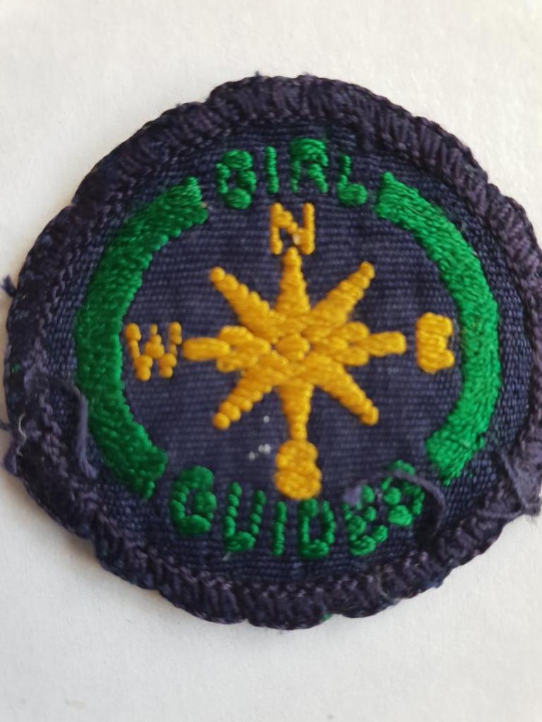
2) Know how to use a compass (32 points) and be able to find direction by sun and stars.
3) Be able to find the way from one point to another, following:
a) A street map.
b) An Ordnance Survey map.
One of these to be selected by the tester for practical demonstration at the test.
4) Demonstrate at the test that she can:
a) Set a map.
b) Make a sketch map from a given description.
c) Write a description from an Ordnance Survey map of a three to five-mile walk, the route to be chosen by the tester.
5) Make a map of a small area chosen by the tester. (This may be done prior to the final test and the map brought.)
1950 POR – Map Reader
1) Understand the use of:
a) Conventional mapping signs.
b) Scale
c) Contour lines.
d) Modified British Grid (in use on Ordnance Survey map).
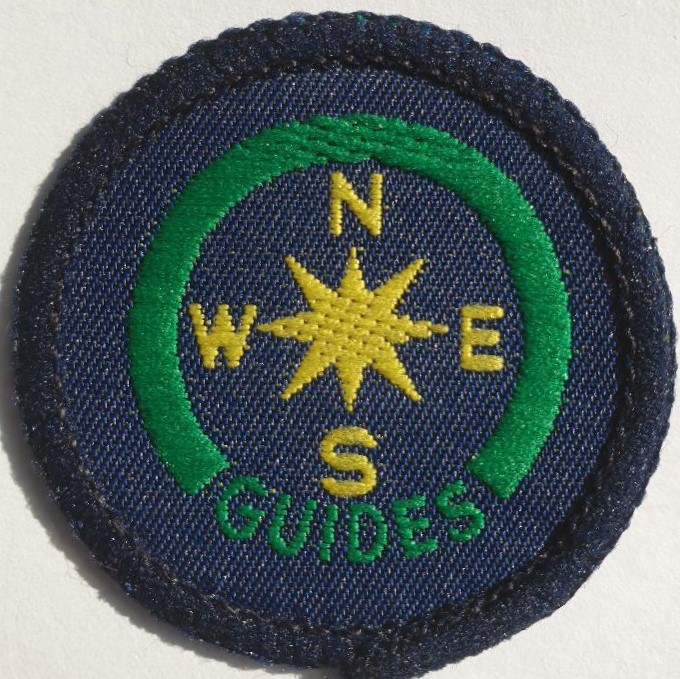
2) Know how to use a compass (16 points) and be able to find direction by sun and stars.
3) Be able to find the way from one point to another, following:
a) A street map.
b) An Ordnance Survey map.
One of these to be selected by the tester for practical demonstration at the test.
4) Demonstrate at the test that she can:
a) Set a map.
b) Make a sketch map from a given description.
c) Write a description from an Ordnance Survey map of a three to five-mile walk, the route to be chosen by the tester.
5) Make a map of a small area chosen by the tester. (This may be done prior to the final test and the map brought.)
1953 POR – Map Reader
1) Understand the use of:
a) Conventional mapping signs.
b) Scale
c) Contour lines.
d) Modified British Grid (in use on Ordnance Survey map).
2) Know how to use a compass (16 points) and be able to find direction by sun and stars.
3) Be able to find the way from one point to another, following:
a) A street map.
b) An Ordnance Survey map.
One of these to be selected by the tester for practical demonstration at the test.
4) Demonstrate at the test that she can:
a) Set a map.
b) Make a sketch map from a given description.
c) Write a description from an Ordnance Survey map of a three to five-mile walk, the route to be chosen by the tester.
5) Make a map of a small area chosen by the tester. (This may be done prior to the final test and the map brought.)
1957 POR – Map Reader
1) Understand the meaning of:
a) Conventional mapping signs.
b) Scale
c) Contour lines.
d) National Grid (in use on Ordnance Survey maps).
2) Show how to use a compass (16 points); find direction by the stars.
3) Be able to find the way from one point to another, following:
a) A street map.
b) An Ordnance Survey map.
One of these to be selected by the tester for demonstration.
4) a) Set a map.
b) Make a sketch map from a description given by the tester.
c) Write a description from an Ordnance Survey map of a three to five-mile walk, chosen by the tester.
5) Bring a map made by herself of a small area chosen previously by the tester.
1960 POR – Map Reader
1) Understand the meaning of:
a) Conventional mapping signs.
b) Scale
c) Contour lines.
d) National Grid (in use on Ordnance Survey maps).
2) Show how to use a compass (16 points); find direction by the stars.
3) Be able to find the way from one point to another, following:
a) A street map.
b) An Ordnance Survey map.
One of these to be selected by the tester for demonstration.
4) a) Set a map.
b) Make a sketch map from a description given by the tester.
c) Write a description from an Ordnance Survey map of a three to five-mile walk, chosen by the tester.
5) Bring a map made by herself of a small area chosen previously by the tester.
1961 (July) POR – Map Reader
1) Understand the meaning of:
a) Conventional mapping signs.
b) Scale
c) Contour lines.
d) National Grid (in use on Ordnance Survey maps).
2) Show how to use a compass (16 points); find direction by the stars.
3) Be able to find the way from one point to another, following:
a) A street map.
b) An Ordnance Survey map.
One of these to be selected by the tester for demonstration.
4) a) Set a map.
b) Make a sketch map from a description given by the tester.
c) Write a description from an Ordnance Survey map of a three to five-mile walk, chosen by the tester.
5) Bring a map made by herself of a small area chosen previously by the tester.
1962 (June) POR Amendments – Map Reader
1) Understand the meaning of:
a) Conventional mapping signs.
b) Scale
c) Contour lines.
d) National Grid (in use on Ordnance Survey maps).
2) Show how to use a compass (16 points); find direction by the sun and stars.
3) Be able to find the way from one point to another, following:
a) A street map.
b) An Ordnance Survey map.
One of these to be selected by the tester for demonstration.
4) a) Set a map.
b) Make a sketch map from a description given by the tester.
c) Write a description from an Ordnance Survey map of a three to five-mile walk, chosen by the tester.
5) Bring a map made by herself of a small area chosen previously by the tester.
1964 (March) POR – Map Reader
1) Understand the meaning of:
a) Conventional mapping signs.
b) Scale
c) Contour lines.
d) National Grid (in use on Ordnance Survey maps).
2) Show how to use a compass (16 points); find direction by the sun and stars.
3) Be able to find the way from one point to another, following:
a) A street map.
b) An Ordnance Survey map.
One of these to be selected by the tester for demonstration.
4) a) Set a map.
b) Make a sketch map from a description given by the tester.
c) Write a description from an Ordnance Survey map of a three to five-mile walk, chosen by the tester.
5) Bring a map made by herself of a small area chosen previously by the tester.
1965 (July) POR – Map Reader
1) Understand the meaning of:
a) Conventional mapping signs.
b) Scale
c) Contour lines.
d) National Grid (in use on Ordnance Survey maps).
2) Show how to use a compass (16 points); find direction by the sun and stars.
3) Be able to find the way from one point to another, following:
a) A street map.
b) An Ordnance Survey map.
One of these to be selected by the tester for demonstration.
4) a) Set a map.
b) Make a sketch map from a description given by the tester.
c) Write a description from an Ordnance Survey map of a three to five-mile walk, chosen by the tester.
5) Bring a map made by herself of a small area chosen previously by the tester.
1968 Guide Handbook – Mapreader Badge
1) a) Find a place on a map by grid reference, and fine the grid reference of a given place.
b) On a map measure the distance between two places.
2) Set a map:
a) With a compass.
b) Without a compass, e.g. by sun, stars, or other landmarks.
3) Be able to find the way from one point to another, following:
a) A street map.
b) An Ordnance Survey map.
One of these to be selected by your tester for demonstration.
4) a) Using the necessary conventional mapping signs, make a rough map from a description given by the tester.
b) From an Ordnance Survey map write a description of a 3- to 5- mile walk chosen by the tester.
1970 Edition Hints on Guide Badges – Mapreader Badge
1) a) Find a place on a map by grid reference, and fine the grid reference of a given place.
b) On a map measure the distance between two places.
2) Set a map:
a) With a compass.
b) Without a compass, e.g. by sun, stars, or other landmarks.
3) Be able to find the way from one point to another, following:
a) A street map.
b) An Ordnance Survey map.
(One of these to be selected by your tester for demonstration).
4) a) Using the necessary conventional mapping signs, make a rough map from a description given by the tester.
b) From an Ordnance Survey map write a description of a 3- to 5- mile walk chosen by the tester.
1973 Guide Handbook – Map Reader Badge
1) a) Find a place on a map by grid reference, and find the grid reference of a given place.
b) On a map measure the distance between two places.
2) Set a map:
a) With a compass.
b) Without a compass, e.g. by sun, stars, or landmarks.
3) Be able to find the way from one point to another, following:
a) A street map.
b) An Ordnance Survey map.
One of these will be selected by your tester for demonstration.
4) a) Using the necessary conventional mapping signs make a rough map from a description given by your tester.
b) From an Ordnance Survey pat write a description of a 3- to 5- mile walk chosen by your tester.
1978 Guide Handbook – Map Reader Badge
1) a) Find a place on a map by grid reference, and find the grid reference of a given place.
b) On a map measure the distance between two places.
2) Set a map:
a) With a compass.
b) Without a compass, e.g. by sun, stars, or landmarks.
3) Be able to find the way from one point to another, following:
a) A street map.
b) An Ordnance Survey map.
One of these will be selected by your tester for demonstration.
4) a) Using the necessary conventional mapping signs make a rough map from a description given by your tester.
b) From an Ordnance Survey map write a description of a 3- to 5- mile walk chosen by your tester.
1983 Guide Badge Book – Map Reader Badge
1) a) Find a place on a map by grid reference, and find the grid reference of a given place.
b) On a map measure the distance between two places.
2) Set a map:
a) With a compass.
b) Without a compass, e.g. by sun, stars, or landmarks.
3) Be able to find the way from one point to another, following:
a) A street map.
b) An Ordnance Survey map.
One of these will be selected by your tester for demonstration.
4) a) Using the necessary conventional mapping signs make a rough map from a description given by your tester.
b) From an Ordnance Survey map write a description of a 3- to 5- mile walk chosen by your tester.
1986 Guide Badge Book – Map Reader Badge
1) a) Find a place on a map by grid reference, and find the grid reference of a given place.
b) On a map measure the distance between two places.
2) Set a map:
a) With a compass.
b) Without a compass, e.g. by sun, stars, or landmarks.
3) Be able to find the way from one point to another, following:
a) A street map.
b) An Ordnance Survey map.
One of these will be selected by your tester for demonstration.
4) a) Using the necessary conventional mapping signs make a rough map from a description given by your tester.
b) From an Ordnance Survey map write a description of a 3 to 5 mile (4.8 to 8km) walk chosen by your tester.
1989 Guide Badge Book – Map Reader Badge
1) a) Find a place on a map by grid reference, and find the grid reference of a given place. (6-figure grid references should be used).
b) On a map measure the distance between two places and the difference in height between 2 points. Understand scale (distance and countour). On a map measure the distance between two places and the difference in height between two points.
2) Set a map:
a) With a compass.
b) Without a compass, e.g. by sun, stars, and landmarks.
3) Be able to find the way from one point to another, following:
a) A street map.
b) An Ordnance Survey map 1:50,000 or 1:25,000 map.
One of these will be selected by your tester for practical demonstration out-of-doors. This may be on foot, bicycle or horseback or in a vehicle.
4) a) Using the necessary conventional mapping signs make a rough map from a description given by your tester.
b) From an Ordnance Survey 1:50,000 or 1:25,000 map write a description of a 4.8 to 8 km (3- to 5- mile) walk chosen by your tester.
1991 Guide Badge Book – Mapreader Badge
1) Find a place on a map by grid reference, and find the grid reference of a given place (you should use the six-figure grid references).
and
Know what scale, for distance and contours, means on a map. On a map, measure the distance between two places and the difference in height between two points.
2) Set a map:
a) with a compass
b) without a compass, for example by using the sun, stars and landmarks.
3) Be able to find the way from one point to another following a street map and an Ordnance Survey map 1:50,000 or 1:25,000 map.
One of these will be selected by your tester for a practical demonstration out-of-doors. This may be on foot, on a bicycle, on horseback or in a vehicle.
4) Using the necessary conventional mapping signs, make a rough map from a description given by your tester.
and
From an Ordnance Survey 1:50,000 or 1:25,000 map write a description of a 4.8 to 8km (3 to 5 miles) walk chosen by your tester.
1995 Guide Badge Book – Mapreader Badge
1) Find a place on a map by grid reference, and find the grid reference of a given place (you should use the six-figure grid references).
And
Know what scale, for distance and contours, means on a map. On a map, measure the distance between two places and the difference in height between two points.
2) Set a map:
a) with a compass
b) without a compass, for example, by using the sun, stars and landmarks.
3) Be able to find the way from one point to another following a street map and an Ordnance Survey 1:50,000 or 1:25,000 map. One of these will be selected by your tester for a practical demonstration out of doors. This may be on foot, on a bicycle, on horseback or in a vehicle.
4) Using the necessary conventional mapping signs, make a rough map from a description given by your tester.
And
From an Ordnance Survey 1:50,000 or 1:25,000 map write a description of a 4.8 to 8 km (3 to 5 miles) walk chosen by your tester.
